


Rainbow Falls:
An easy Rainbow Falls Walk leads to the waterfalls lookout and to the falls base. It takes 5 to 10 minutes to reach the lower lookout, and the track is suitable for people of all abilities.
There are at least three great waterfall’s viewpoints there: two upper lookouts and one lower lookout. If it’s rainy or you don’t want to walk then you can enjoy the waterfall from the upper lookout which roughly 1-minute away from the carpark.
Return via the same track; or if you have a reasonable level of fitness, then walk a 3-hrs return KeriKeri River Track to visit historic Stone Store and Wharepoke Falls.
Information about Puketi Forest
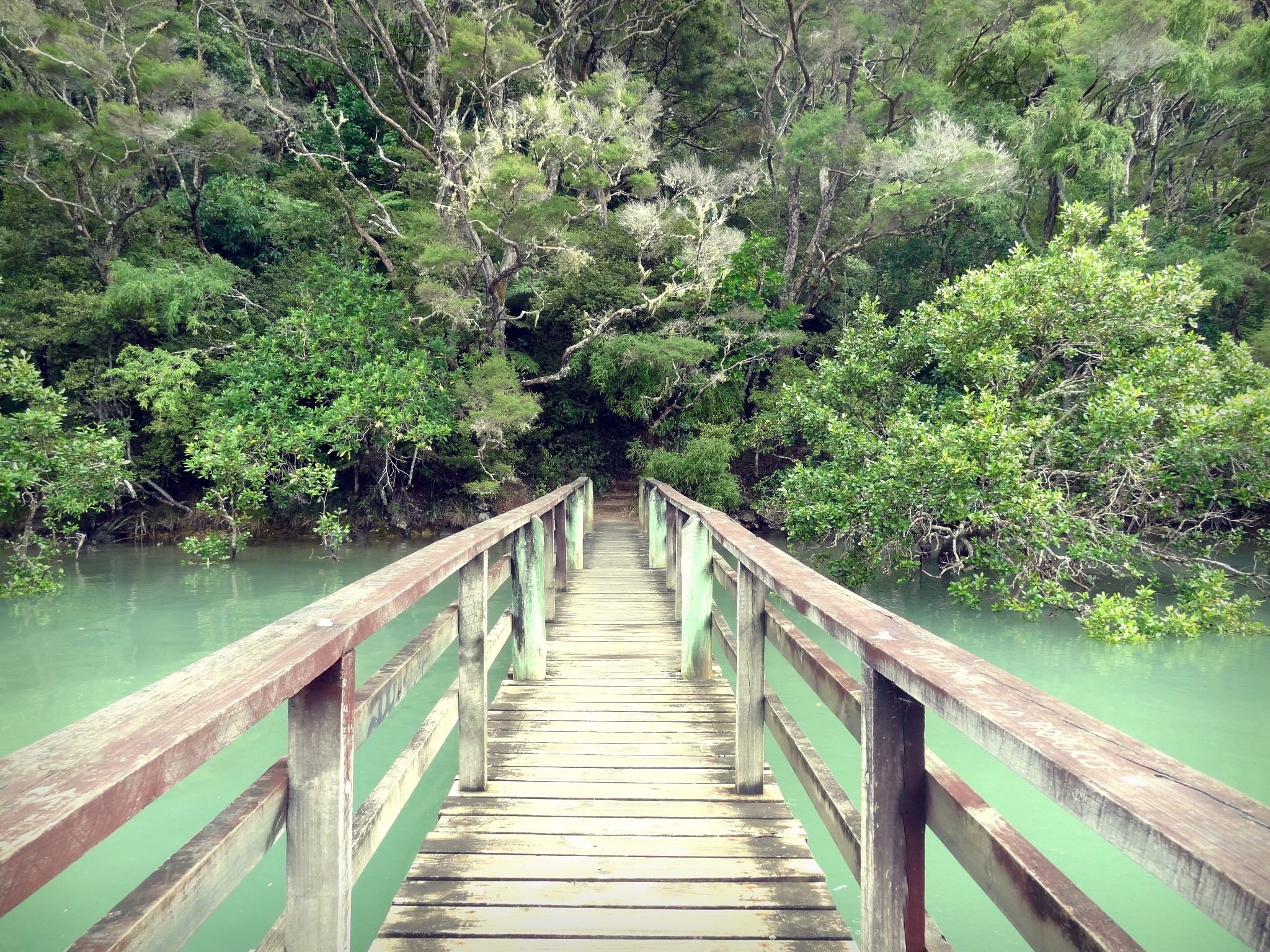
Puketi Forest is an ancient Kauri (Agathis australis) forest located in the heart of New Zealand’s Northland. Along with Omahuta Forest, it forms one of the largest contiguous tracts of native forest in Northland.
Within their 15,000 hectares (37,000 acres) Puketi and Omahuta Forests contain magnificent stands of kauri, podocarp and hardwood trees and a rich ecological diversity including 370 recorded species of plants, some of which are found nowhere else in the world.
The forest once supported numerous and diverse birdlife, but introduced pests have sadly reduced these through competition and predation. Unique species such as rifleman, whitehead, bellbird, kaka and red- and yellow-crowned parakeets are no longer present. Populations of remaining native birds such as North Island brown kiwi, kukupa (New Zealand pigeon), fernbird and pied tit are much reduced and also face local extinction without intervention. Toutouwai (New Zealand robin) were returned to the forest by the trust in 2009 and 2010. Kokako were reintroduced from 2012 to 2014.
Opua Forest
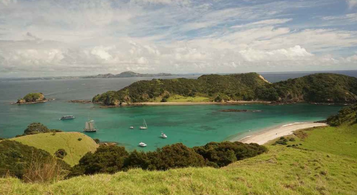
The track starts 700 metres from the Paihia township. Once at the lookout you will have stunning views to Waitangi, across Motumairie (one of the islands off Paihia) to Russell then over the Russell Peninsula to Cape Brett and Ipipiri, the eastern Bay of Islands.
If you want to walk for a further two hours, carry on along the Oromahoe Traverse, which joins the Paihia School Road Track.
Just a short stroll along Oromahoe Road to your right will take you to the Opua Kauri Walk, an easy walk through kauri trees.
Haruru Falls
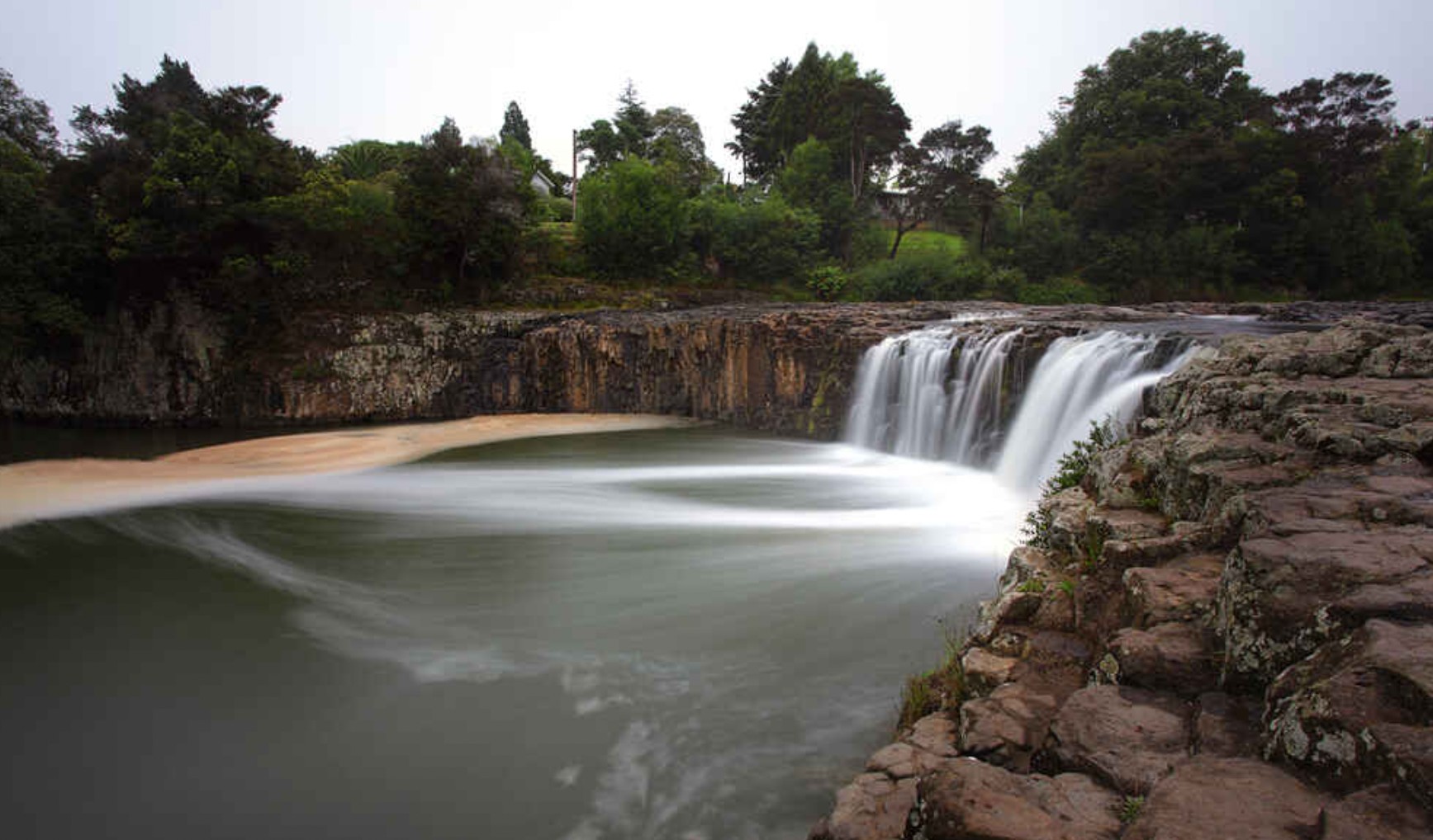
Haruru Falls is one of several beautiful waterfalls in the Bay of Islands. Both the small township and the waterfalls, are about 5km from Paihia in the Bay of Islands and are worth seeing.
In Te Reo Māori, ‘haruru’ means “big noise.” If you happen to visit after one of Northland’s big rains, you’ll understand how the place earned its name. The torrent of water raging over the horseshoe-shaped falls roars down the walking track that follows the inlet. You’ll hear Haruru Falls long before you arrive.
In Te Reo Māori, ‘haruru’ means “big noise.” According to Māori legend, a taniwha lives in the lagoon underneath the falls, adding his roar to the noise of the water.
Even in summer, or without the added rainfall, the falls are a picturesque place to stop and admire the scenery.
This is where the mighty Waitangi River is strongest, and the Haruru Falls walking track follows the water as it ebbs towards the Waitangi Treaty Grounds and out into the bay.
The track is about 6km and will take you 2.5 hours to walk one way. It’s a ‘there and back track’ so you can either park your car by the entrance to the track at the Waitangi Treaty Grounds, or in the carpark at Haruru Falls.
The road from Haruru Falls to Paihia and Waitangi doesn’t have a footpath and isn’t safe for pedestrians. So if you’re planning on taking this walk, allow enough time for the return trip or organise transport to meet you at the opposite end.